ENVIRONMENTAL AND VEGETATIVE CONDITIONS 1. Geological and Geomorphological Conditions
In terms of Geology the edaphic structure of the volcanic chain, where the forest fund lies, is the result of a powerful eruption at the end of the Neogene respectively at the beginning of the Quaternary. The major rocks identified in the geological substratum are: eruptive rocks - crystalline schists, granodiorites, limestones, grezos flysh and andesites.
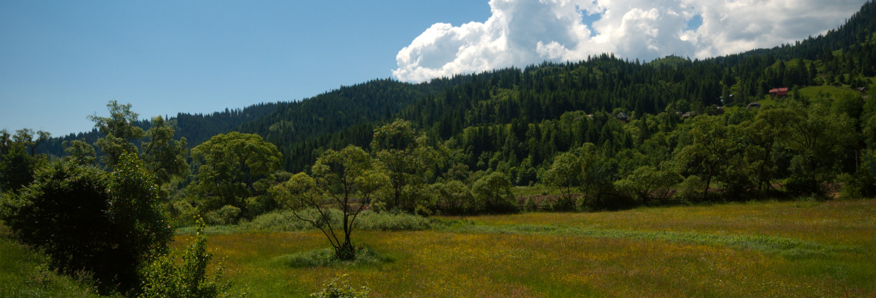
The area where the forests are located is part of the following geomorphological regions: Eastern Carpathians, the southern volcanic mountain ranges: Calimani - Gurghiu - Harghita.
Between 840 and 1200 meters a great majority of the forests vegetate, the climate conditions are nevertheless quite favourable, even extremely favourable, considering the high productivity rate of the stands.
The prevailing geomorphological unit is the slope, with a smooth, undulating configuration having the following inclination categories:
| low inclination (16 g) |
17 % |
| medium inclination (16-30 g) |
81 % |
| high inclination (31 - 40 g) |
2 % |
| Total |
100 % |
The conditions of inclination are estimated favourable and very good since the vegetation can easily take root into the soil.
The forests have a general aspect of North East.
Generally the following aspect categories were defined:
| sunny |
19% |
| partially sunny |
41% |
| shady |
40% |
The aspect constitutes a significant component. It is worth mentioning that 60% of the forest land has a sunny or partially sunny aspect while 40% is shady.
2. Climate Conditions
Due to its geographical position, the territory under discussion has a temperate climate, regionally situating in the temperate continental climate.
According to Köppen the region belongs to the Dfck province, meaning boreal climate, with hard and damp winters, the temperature in the coldest months being - 6,8°C and the average temperature of the hottest months being above 16°C, with abundant precipitations all through the year.
During the year variations in average temperature values of the air provide the territory the characteristics of continental climate, with the annual amplitude of 22,8°C (meteorological station Gheorgheni).

The diagramme above shows the average temperature values for each month. It is visible that in summer, especially in july and august the annual average temperature varies between 15,5 - 16°C. In winter (predominantly in january and february) the lowest temperature is produced the annual medium values range from - 4,7 to - 6,8° C.
The average annual temperature between 5 - 6° C shows high favour for the spruce and moderate to high favour for the fir, common beech and other broad-leaved trees.
Precipitations are significantly influenced by the pependicular line of the volcanic mountains related to the west winds. The data collected from the meteorological station in Gheorgheni shows that precipitations have an uneven distribution.

The average value of precipitations ranges from 600 - 700 mm annualy showing high favour for the main species of the site unit. The potential evapotranspiration is approximately 400-650 mm per year, additionally the moisture excedent varies between 100 - 950 mm in the mountains and 565 mm in the valleys.
3. Hidrological Conditions
The brooks have water flowing all year long, with a rise in spring when snow melts, and a decrease in fall.
The hydrological regime is prevailing in percolating precipitations, with pluvial and pluvionival supply. In chemical terms the waters have superior quality, having bicarbonate quality in some cases.
4. Edafic Conditions
The soil at the basic site unit is characteristic for the mountain regions where it was formed and its peculiarities are due to the ground (configuration of the land), the rocks, the climate and to the peculiar vegetation.
The types and subtypes of soil that have been identified so far are presented in the table below :
| Nr.crt. |
Types and subtypes of soil |
Code |
Succession of horizons |
Percentage % |
| 1 |
Districambosoil |
typical |
3301 |
Ao-Bv-C |
94 |
| litic |
3305 |
Ao-Bv-R
Ao-BvR-C |
- |
| gleyied |
3306 |
Ao-Bv-Cgo
Ao-BvGo-CGR |
1 |
| Total Districambosoil |
95 |
| 2 |
Lithic Prepodzoil |
4102 |
Auo-Bs -R |
4 |
| 3 |
Lithic Rendzina |
1703 |
Am-AR-Rrz |
1 |
| TOTAL |
100 |
The dominant soils at the basic site unit are the typical districambosoil with the following subtypes: typic, lithic and gleyed. Districambosoils represent 95% of the whole surface whereas the Prepodzoil and Redzina make up only 5%.
5. Site Types
The forests under the administration of FADG belong to two fitoclimatic layers:
- mountain belt of Norway Spruce (FM3) ........ 68 %
- mountain belt of mixed stand (FM2) ....... 32 %
As far as site qualities are concerned the following categories are defined:
- Superior quality sites ......... 72 %;
- Medium quality sites .......... 27 %;
- Inferior quality sites ............. 1 %;